Geospatial & GIS Services
Geospatial Insights That Matter
Spatial Intelligence That Drives Better Decisions
HOW WE CAN HELP
See the Bigger Picture with Spatial Intelligence
Our Services
We offer a wide range of services in this sector as detailed here.
Precision Agriculture Services
Crop Health Monitoring, Yield Prediction, Crop Classification, Acreage Estimation, Irrigation Planning, and Pest or Stress detection
Precision Forest Monitoring
Forest Cover Mapping, Land-Use and Land-Cover Change Detection, Deforestation and Degradation Monitoring, Biomass and Carbon Estimation, Fire Risk Assessment, and Biodiversity Analysis
Custom Solutions
We also develop exclusive custom solutions as per our clients' specific requirements. Let's talk about your idea.
Precision Agriculture Services
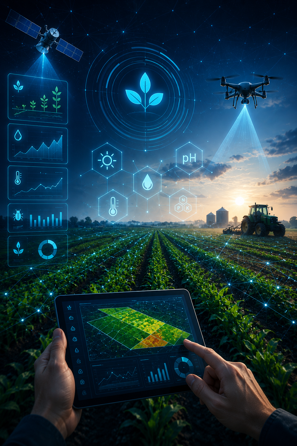
Crop Analytics
Advanced crop health and growth monitoring using NDVI, NDRE, NDMI, MSAVI, and Chlorophyll Concentration indices including APIs thereof.
Early detection of crop stress, nutrient deficiencies, and moisture variability
Weather APIs, Weather forecasts and weather-driven analytics for proactive farm and risk management
Assessment of crop vigor, biomass, and phenological stages
Data-driven insights to optimize irrigation, fertilizer application, and input planning
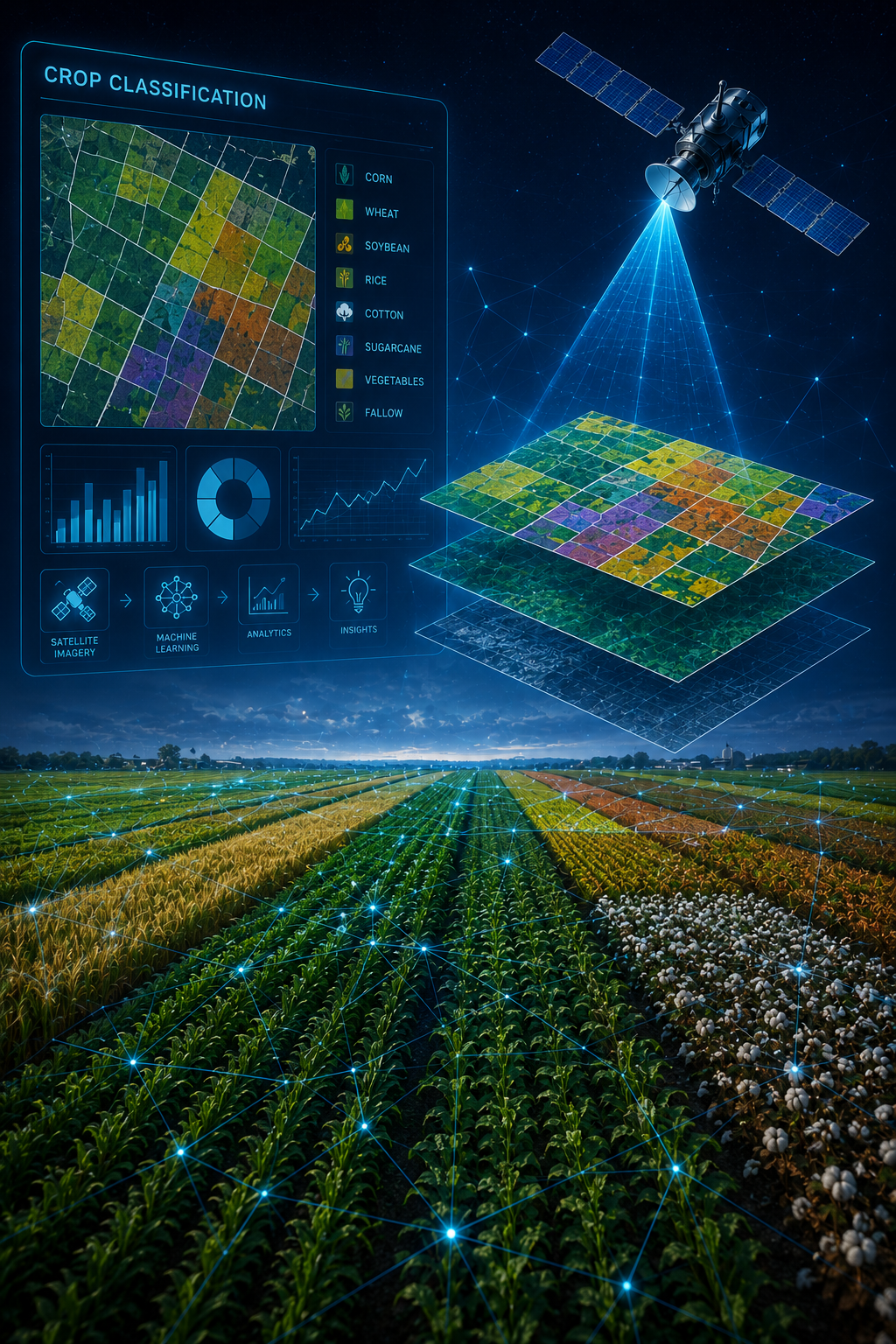
Crop Classification
Our solutions provide advanced crop classification services using geospatial analytics and remote sensing technologies. By analyzing multi-temporal satellite imagery, spectral signatures, and GIS-based models, we accurately identify and map crop types across regions. Our solutions support agricultural planning, monitoring, and policy implementation.
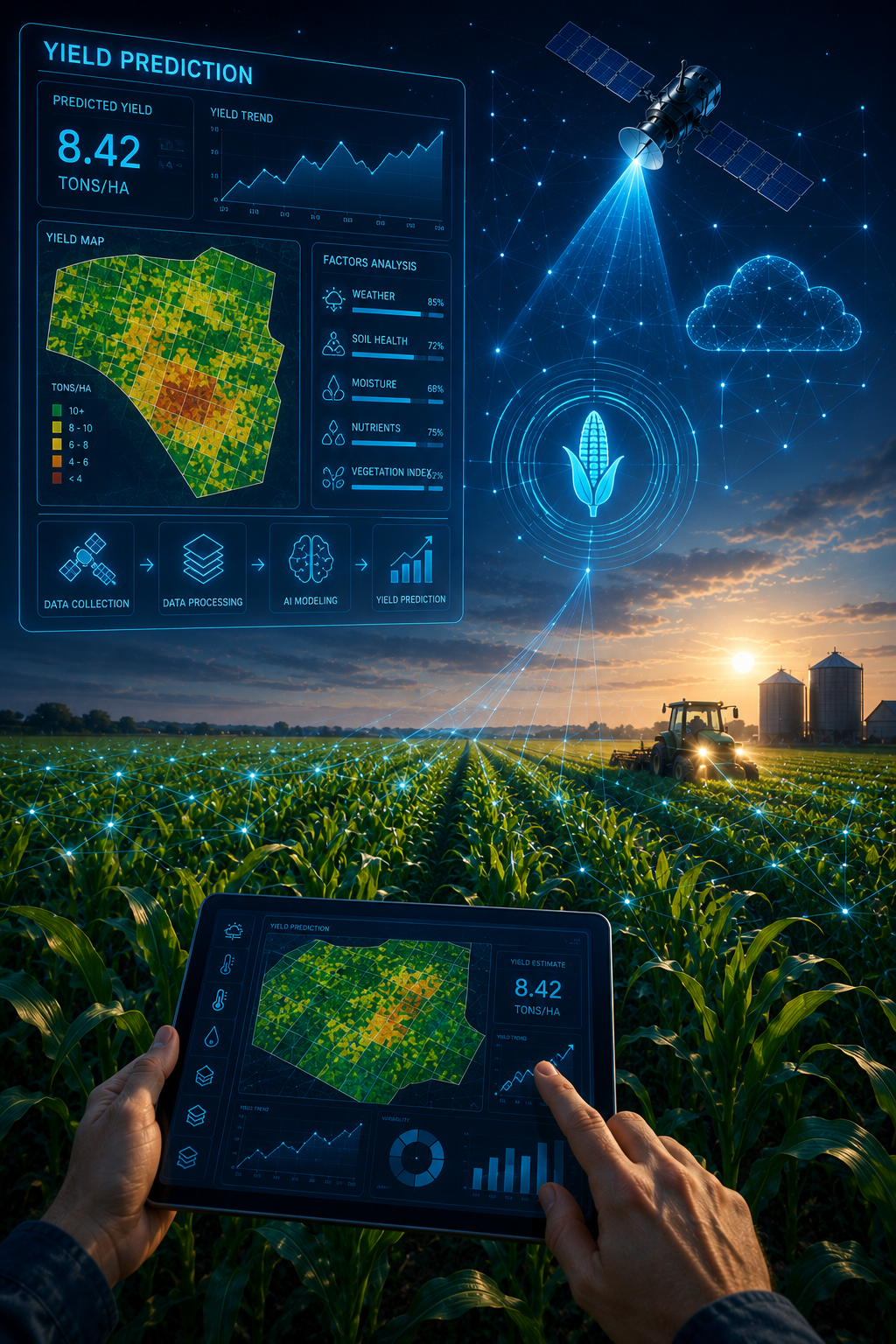
Yield Prediction
Our yield prediction services combine multi-temporal satellite imagery, crop indices, historical yield data, weather-driven models and climatic variables to generate timely yield forecasts that support agricultural planning, risk assessment, supply chain optimization, and data-driven decision-making at scale.
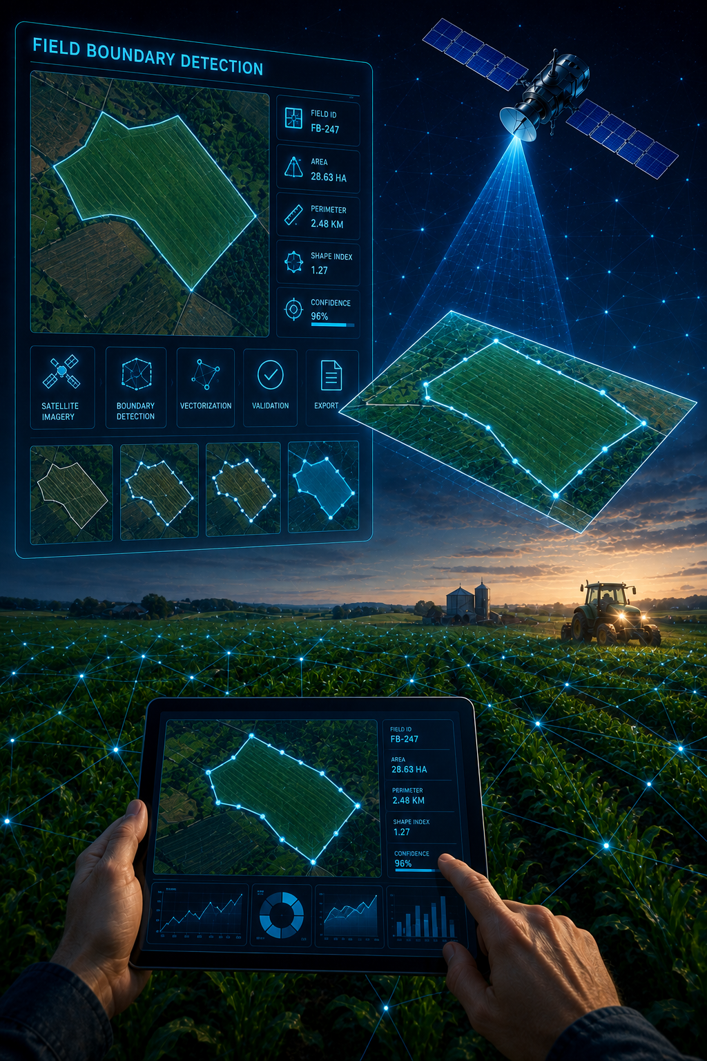
Field Boundary Detection
Our solutions offer advanced Field Boundary Detection and land parcel segmentation services by leveraging high-resolution satellite imagery, spatial algorithms, and GIS-based models, we accurately delineate field boundaries and segment land parcels at scale.
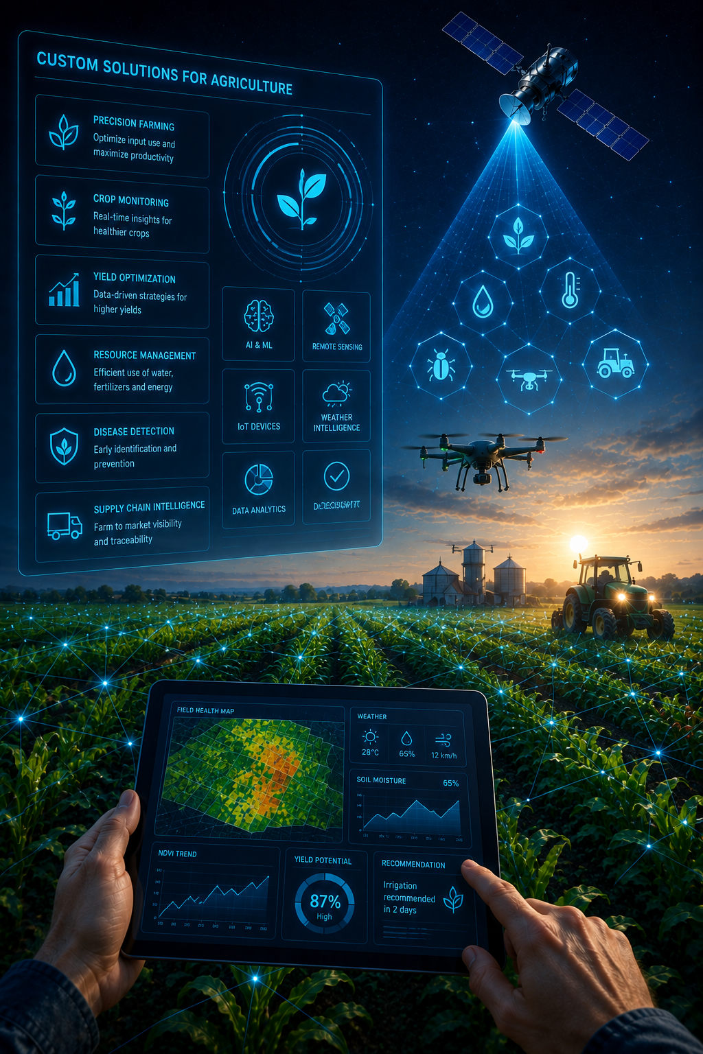
Custom Solutions for Agriculture
We deliver customized Geospatial and precision agriculture solutions tailored to the specific operational, regional, and business requirements of our clients.
Precision Forest Monitoring
Our Geospatial and GIS services enable effective forest monitoring, management, and conservation through the integration of satellite imagery, remote sensing, and spatial analytics. We support forest cover mapping, land-use and land-cover change detection, deforestation and degradation monitoring, biomass and carbon estimation, fire risk assessment, and biodiversity analysis. These insights help organizations improve monitoring accuracy, ensure regulatory compliance, mitigate environmental risks, and support data-driven forest planning and conservation initiatives at scale.
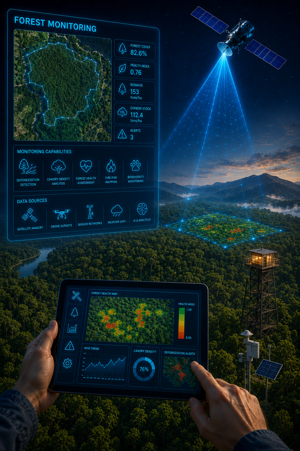
Forest Monitoring
Our advanced forest monitoring services using Geospatial and GIS solutions to enable assessment, continuous tracking, and data-driven management of forest resources. By integrating satellite imagery, remote sensing analytics, and GIS platforms, we help organizations monitor forest cover, detect changes, assess risks, and support sustainable forest planning and conservation initiatives.
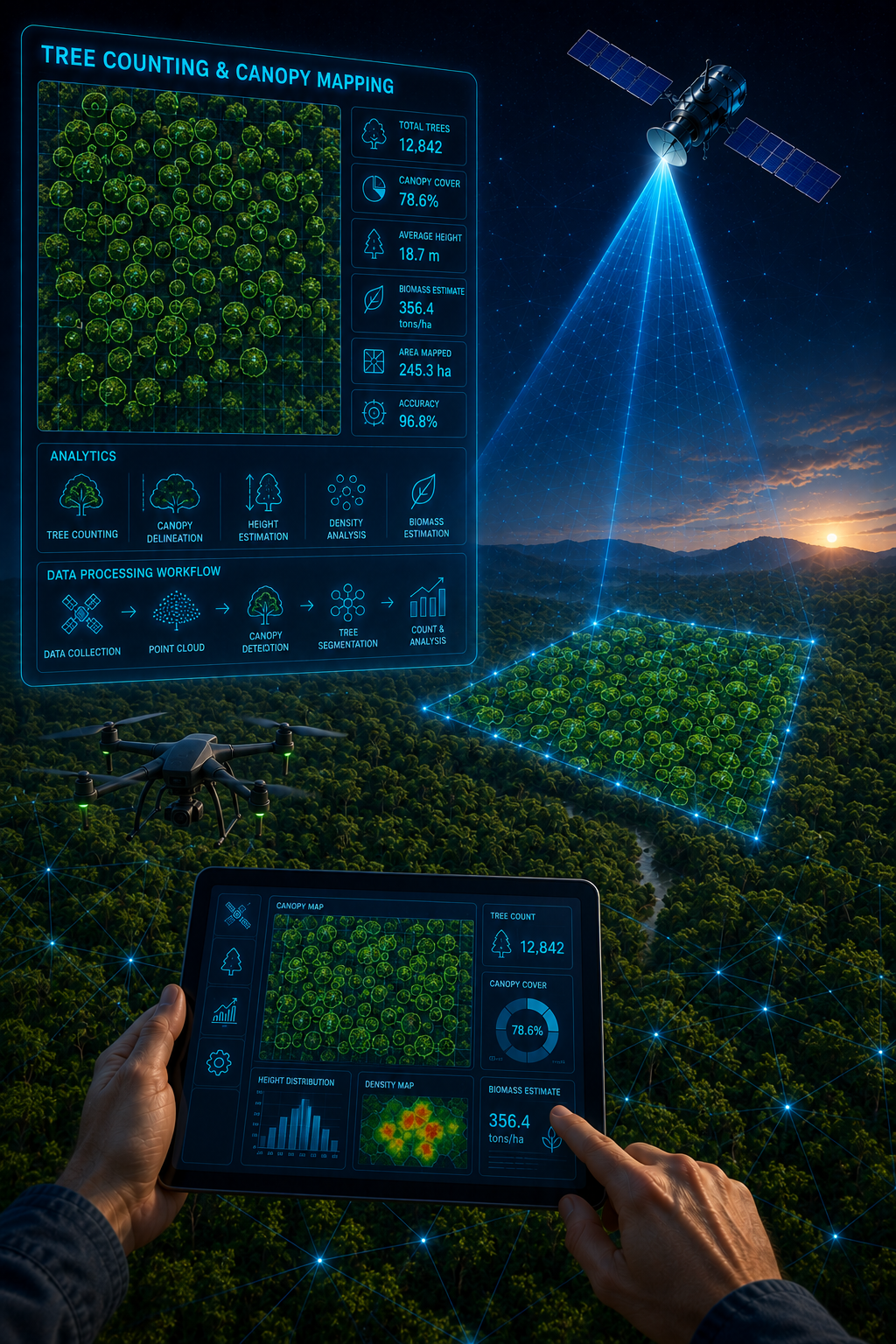
Tree Counting & Canopy Mapping
Our advanced tree counting and canopy mapping services deliver large-scale forest and plantation insights. Our solutions enable precise tree detection, canopy cover assessment, and density analysis—supporting effective forest management, carbon assessment, and sustainable planning.
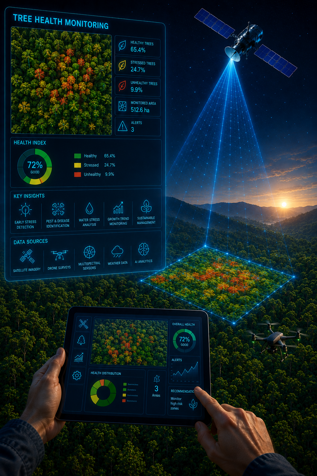
Tree Health Monitoring
Our tree health monitoring services help clients assess vegetation vigor, stress, and overall canopy condition. By integrating high-resolution satellite imagery, vegetation indices, and spatial analytics, we help organizations detect early signs of disease, drought stress, and degradation—enabling timely intervention, improved forest management, and data-driven conservation planning.
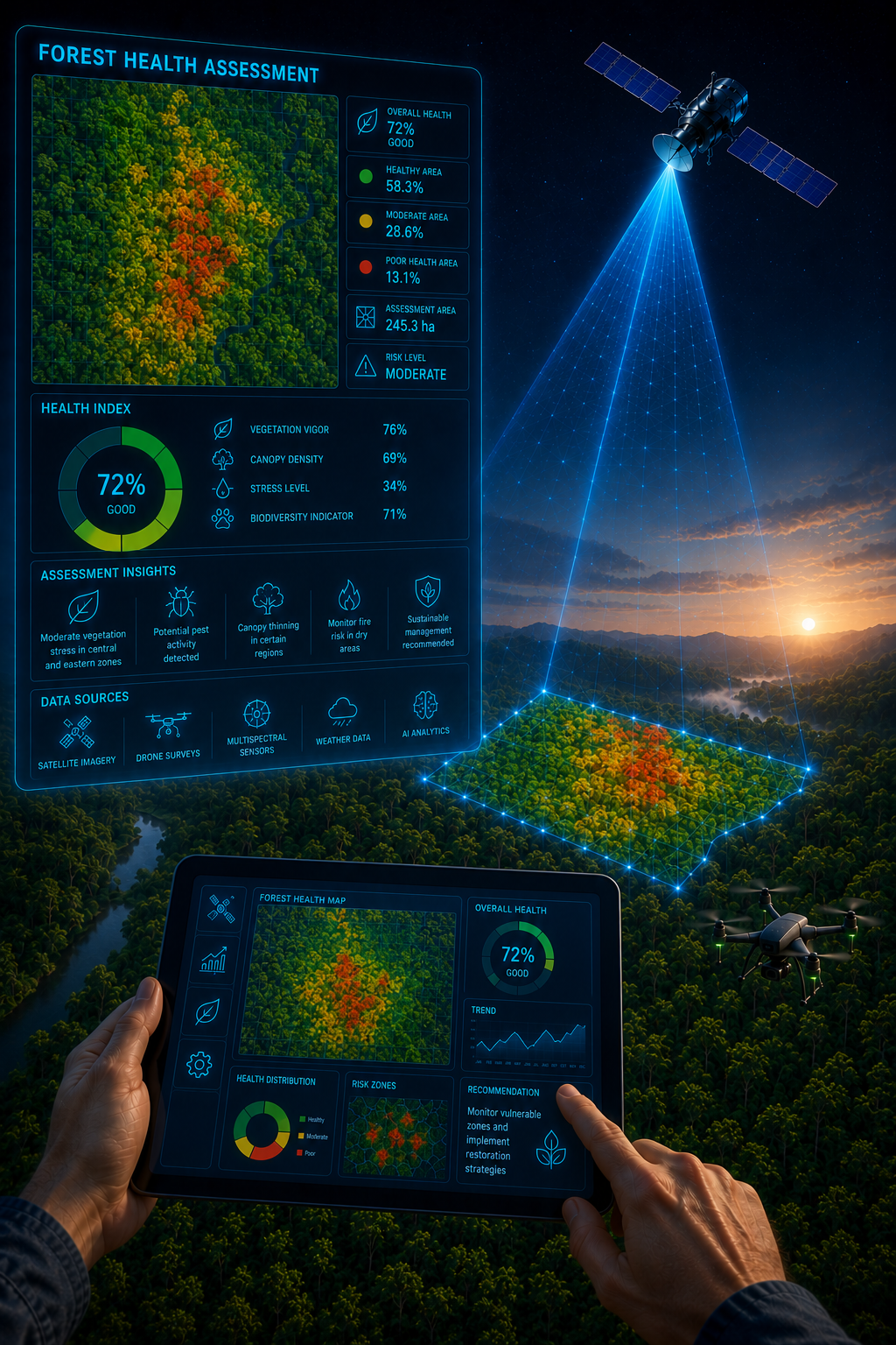
Forest Health Assessment
Our solutions provide comprehensive forest health assessment services to evaluate forest condition, resilience, and risk factors. We enable assessment of forest vitality, stress patterns, and degradation—supporting informed forest management, conservation strategies, and sustainable resource planning.
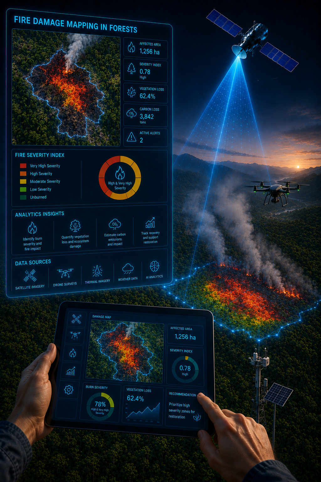
Fire Damage Mapping
Our advanced fire damage mapping services assess the extent and impact of forest fires. By leveraging satellite imagery, thermal data, burn severity indices, and spatial analytics, we enable rapid post-fire assessment, damage quantification, and recovery planning—supporting timely response, risk mitigation, and data-driven forest management.
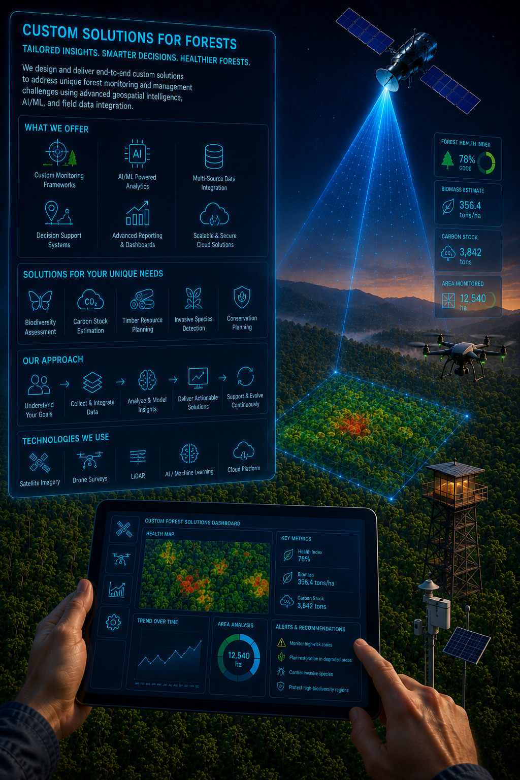
Custom Solutions for Forests
We deliver customized Geospatial and precision forest monitoring solutions tailored to the specific ecological, regulatory, and operational requirements of our clients.